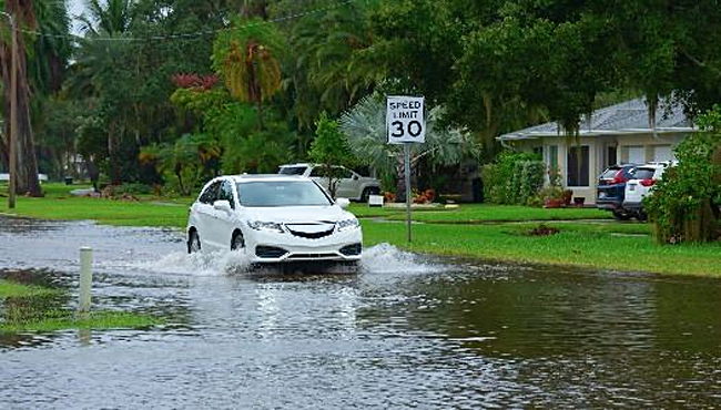
Concord’s Community Rating System Reduces Flood Insurance Cost
 CONCORD, CA — For owners or properties in a flood zone, the cost of flood insurance premiums can be staggering, so what can the City of Concord do to help?
Since 2007, the City has participated in the Community Rating System (CRS), which is a part of the National Flood Insurance Program, regulated under the Federal Emergency Management Agency (FEMA).
By participating in the CRS, Concord is designated as a class level, which earns a percent discount for all flood insurance policyholders within the City.
In May 2020, based on the successful work of staff in preparing for the 5-year Cycle visit, the City officially received an upgrade to a Class 6 Community, which in turn increased the discount received by Concord policyholders to 20%.
Management and protection
As part of its participation in the CRS, the City of Concord provides a breadth of services, information, outreach, assistance, and enforcement regarding floodplain management and protection.
These services include:
- Keeping copies of all elevation certificates, which are posted on the City’s website.
- Maintaining records of flood insurance rate maps and letters of map change.
- Helping customers identify properties located in the Special Flood Hazard Area and/or the floodway.
- Guiding the public on determining the base flood elevation, where available.
- Retaining certified floodplain managers on staff to provide technical assistance.
- Offering to conduct flood protection assistance visits upon request.
- Updating the City’s GIS mapping system to include the latest FEMA flood zone information.
- Sharing FEMA publications and flood protection materials at the Contra Costa Library
Outreach
In addition, the City provides outreach throughout the year, which includes:
- Annual mailings to local realtors, insurance agents, and mortgage lenders, explaining the City’s services identifying flood hazards, insurance requirements, official records, and guides to FEMA processes.
- Citywide flood brochures enclosed in the Parks & Rec Activity Guide each Fall.
- Annual mailing of flood hazard information to properties located within or adjacent to the Special Flood Hazard Area, also known as the 100-year Floodplain.
- Posting updates, advisories, and information of interest via social media regarding preparation before a major storm, City services, changes to FEMA flood zones, and locations for free sandbags provided by Public Works.
For more information, please visit here.
