Nine Northern California National Forests Closing as Fire Battles Continue
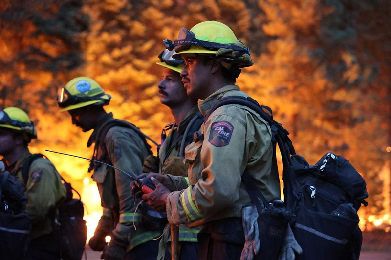
NORTHERN CALIF. (August 20, 2021) — The USDA Forest Service Pacific Southwest Region has ordered 9 national forests in Northern California to close temporarily.
The action will help provide the public and firefighter safety due to extreme fire conditions across the state. It also provides some relief for strained firefighting resources. This closure will begin August 22, 2021, at 11:59 p.m. The order continues until September 6, 2021 at 11:59 p.m.
“Fires are running very quickly due to the drought conditions, dry fuels, and winds. This makes initial attack and containment very difficult and even more challenging with strained resources [going to] more than 100 large fires across the country,” said Regional Forester Jennifer Eberlien. “We do not take this decision lightly. We also understand how this impacts people who enjoy recreating on the National Forests. I want to thank the public for your patience during this challenging situation.”
Read the closure order at https://go.usa.gov/xF7EM. (Spanish, Hmong Translations)
Affected forests include
•Klamath National Forest
•Lake Tahoe Basin Management Unit
•Lassen National Forest
•Mendocino National Forest
•Modoc National Forest
•Plumas National Forest
•Shasta-Trinity National Forest
•Six Rivers National Forest
•Tahoe National Forest
Active fires
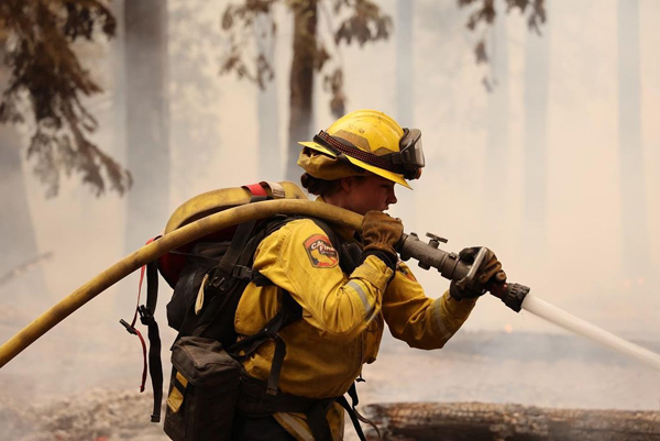
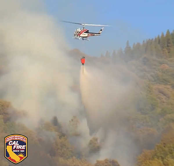
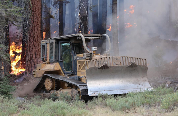
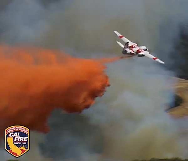
More than 12,460 firefighters continue to battle 14 large wildfires across the state. On Aug. 19, firefighters responded to 27 new wildfires, all of which they contained quickly. Since January 1, 6,630 wildfires have burned more than 1.4 million acres. Firefighters continue to work against drought-stricken conditions.
Current forecasts project west to southwest winds to continue through the weekend and into next week. On Saturday, officials expect gusts up to 30 – 35 mph in many areas, including the Greater Lake Tahoe area, Lassen, and Eastern Sierra Counties. After a brief break from dense smoke, smoke will likely return to areas of the Sierra crest and into far western Nevada starring tomorrow afternoon. In Southern California, temperatures should stay cooler, remaining a little below normal through Sunday.
With the weekend approaching, CAL FIRE asks all Californians to take steps to prevent sparking a wildfire. To learn more ways to prevent sparking a wildfire, visit www.ReadyForWildfire.org.
Latest report on California wildfires from CAL FIRE
CAL FIRE Incidents
Glen Fire, Yuba County (more info…) Northwest of Dobbins
*184 acres, 99% contained
Unified Command Fires
Dixie Fire, Butte, Plumas, Lassen, Tehama & Shasta Counties (more info…) Feather River Canyon
- 700,630 acres, 35% contained
- Nearly 16,000 structures threatened
- 1,225 structures destroyed (14th most destructive wildfire)
- Unified Command CAL FIRE, USFS, BLM, and National Park Service
- CAL FIRE IMT 3 and Interagency IMT 4 are in command
Caldor Fire, El Dorado County (more info…) South of Grizzly Flats – El Dorado National Forest
- 73,415 acres, 0% contained
- Evacuation orders and warnings remain in place
- Nearly 6,900 structures threatened
- More than 100 structures destroyed
- Damage assessment in progress
- Emergency forest closure of all lands, roads, and trails within the El Dorado National Forest
- Unified Command CAL FIRE and USFS
- CAL FIRE IMT 6, in command with USFS
French Fire, Kern County (more info…)
West of Lake Isabella – Sequoia National Forest
- 4,272 acres, 5% contained
- Evacuation orders in place
- Unified Command Kern County, USFS, and BLM
McFarland Fire, Shasta, Trinity & Tehama Counties (more info…) West of Platina – Shasta-Trinity National Forest
- 115,996 acres, 52% contained
- Evacuation orders and warnings remain in place
- Unified Command CAL FIRE and USFS
- CA Interagency IMT 10, in command with CAL FIRE
Monument Fire, Trinity County (more info…)
5 miles west of Big Bar – Shasta-Trinity National Forest
- 142,250 acres, 10% contained
- Unified Command CAL FIRE and USFS
- CAL FIRE IMT 5 and Alaska IMT in command with USFS
Federal Incidents
Antelope Fire, Siskiyou County (more info…) South of Tennant – Klamath National Forest
- 64,827 acres, 30% contained
River Complex, Siskiyou & Trinity Counties (more info…) West of Callahan – Klamath National Forest
- 80,400 acres, 10% contained
- Complex is comprised of 23 fires; 16 fires contained
McCash Fire, Siskiyou County (more info…)
Ten Bear Mtn McCash Creek – Six Rivers National Forest
- 7,659 acres, 0% contained
Walkers Fire, Tulare County (more info…) Northeast of Springville – Sequoia National Forest
- 2,482 acres, 15% contained
Lava Fire, Siskiyou County (more info…)
Northeast of the community of Weed – Shasta-Trinity National Forest
- 26,409 acres, 85% contained
Beckwourth Complex, Lassen/Plumas Counties (more info…) Northeast of Beckwourth – Plumas National Forest
- 105,670 acres, 98% contained
Tamarack Fire, Alpine County (more info…)
South of Gardnerville – Humboldt-Toiyabe National Forest
- 68,637 acres, 82% contained
Local Incidents
Cache Fire, Lake County (more info…) Clearlake – Lake County Fire Protection District
- 75 acres, 40% contained
- CAL FIRE assisting
Extended Attack Incidents
Bell Fire, Mendocino County (more info…) 5 miles east of Leggett – (CAL FIRE)
- 50 acres, 100% contained – FINAL

