California Statewide Fire Summary, September 24, 2021
CALIFORNIA (Sept. 24, 2021) — More than 9,400 firefighters remain on the frontlines of 11 major wildfires and one extended attack wildfire in California.
On Thursday, firefighters also responded to 23 initial attack wildfires across the state. Since the beginning of the year, there have been 7,641 wildfires that have burned more than 2.38 million acres in California. In comparison, during the same time last year, there were 8,375 fires, which burned more than 3.68 million acres.
In Northern California, expect gusty westerly winds Sunday through Monday across the region. Temperatures above normal through Saturday, then cooling beginning Sunday and into early next week. In the southern part of the state, a Pacific trough will drop slowly down the West Coast Sunday through the middle of next week.
Temperatures will be near or slightly above normal through Saturday. Westerly winds of 20 – 30 mph with gusts to 50 mph will surface across the mountain ridges and desert passes Monday afternoon through Tuesday evening.
As Fall season begins, it is important to remember that some of the largest and most destructive wildfires occur during this time of year. Be prepared and do not let your guard down. To learn ways to prevent sparking a wildfire, visit ReadyForWildfire.org.
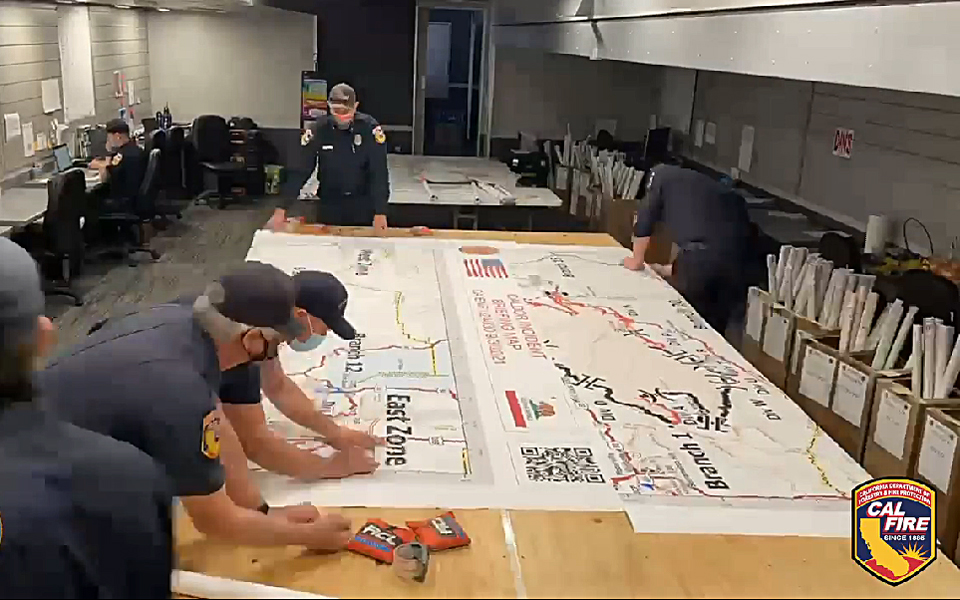
Unified Command Fires
Dixie Fire, Butte, Plumas, Lassen, Tehama & Shasta Counties (more info…) Feather River Canyon
- 963,276 acres, 94% contained
- 2nd Largest and 14th Most Destructive Wildfire in California history
- Damage assessment is ongoing
- Repopulation plan implemented and ongoing
- Unified Command CAL FIRE, USFS, BLM, and National Park Service
- CA IMT Team 14 and CA IMT Team 1 in command
French Fire, Kern County (more info…)
West of Lake Isabella – Sequoia National Forest
- 26,535 acres, 98% contained
- Unified Command USFS and BLM
Windy Fire, Tulare County (more info…)
Tule River Indian Reservation – Sequoia National Forest
- 49,053 acres, 6% contained
- Unified Command USFS, TIA and TCFD
- CA IMT 2, Team 11 in command
State Incidents
Fawn Fire, Shasta County (more info…) NEW
Northeast of Shasta Lake
- 5,850 acres, 10% contained
- Evacuation orders and warnings remain in place
- CAL FIRE IMT Team 4 (Pemberton) in command
Federal Incidents
Antelope Fire, Siskiyou County (more info…) South of Tennant – Klamath National Forest
- 145,632 acres, 95% contained
- CA IMT 2, Team 10 (Petterson) in command
Caldor Fire, El Dorado, Amador & Alpine Counties (more info…) South of Grizzly Flats – El Dorado National Forest
- 221,161 acres, 76% contained
- 14th Largest and 16th Most Destructive Wildfire in California history
- CA IMT 2, Team 12 (Nobles) in command
KNP Complex, Tulare County (more info…) Milk Ranch Peak – Sequoia National Park
- 36,117 acres, 0% contained
- Southern Area IMT Blue Team in command
- Includes the Paradise Fire and Colony Fire
McCash Fire, Siskiyou County (more info…)
Ten Bear Mtn McCash Creek – Six Rivers National Forest
- 92,549 acres, 36% contained
- Alaska IMT Team 1 in command
Monument Fire, Trinity County (more info…) West of Big Bar – Shasta-Trinity National Forest
- 219,329 acres, 61% contained
- 16th largest wildfire in California history
- Northern Rockies IMT 1, Team 2 (Turman) in command
River Complex, Siskiyou & Trinity Counties (more info…) West of Callahan – Klamath National Forest
- 197,474 acres, 65% contained
- 18th largest wildfire in California history
- CA IMT Team 2 (Johnny) in command
Tamarack Fire, Alpine County (more info…)
South of Gardnerville – Humboldt-Toiyabe National Forest
• 68,637 acres, 84% contained
Extended Attack Incidents
Emigrant Fire, Los Angeles County (more info…) Near Pyramid Lake
• 255 acres, 85% contained
University Fire, San Bernardino County (more info…) FINAL
University Parkway, San Bernardino
• 71 acres, 100% contained
Large Wildfire Breakdown
Note: Information data gathered from ICS-209s available as of 0700
| Incident Name (County) | Acres | % Contained | Total Structures | ||
| Threatened | Damaged | Destroyed | |||
| Antelope Fire (Siskiyou) | 145,632 | 95% | 5 | 4 | 18 |
| Caldor Fire
(El Dorado/Amador/Alpine) CA IMT Team 12 (Nobles) |
221,161
(+284) |
76% |
1,384 |
81 |
1,003 |
| Dixie Fire (Butte/Plumas/Lassen/Tehama/Shasta)
CA IMT Team14 (Watkins) – West Zone CA IMT Team 1 (McGowan) – East Zone |
963,276 |
94% |
0
(-1,616) |
95 |
1,329 |
| Fawn Fire (Shasta) NEW
CAL FIRE IMT Team 4 (Pemberton) |
5,850
(+5,700) |
10% | 9,066 | 0 | 25 |
| French Fire (Kern) | 26,535 | 98% | 0 | 6 | 49 |
| McCash (Siskiyou)
Alaska IMT Team 1 |
92,549
(+87) |
36% | 115 | 0 | 0 |
| Monument Fire (Trinity)
Northern Rockies IMT Team 2 (Turman) |
219,329*
(+75) |
61%
(+2) |
118 | 3 | 50 |
| KNP Complex (Tulare)
Southern Area IMT Blue Team (Morales) |
36,117
(+3,071) |
0% | 95 | 0 | 0 |
| River Complex (Siskiyou/Trinity)
CA IMT Team 2 (Johnny) |
197,474
(+1,224) |
65%
(+10) |
620 | 2 | 121 |
| Tamarack Fire (Alpine) | 68,637 | 84% | 0 | 7 | 25 |
| Windy Fire (Tulare)
CA IMT Team 11 (Fogle) |
49,053
(+12,804) |
6% | 2,275 | 0 | 3
(+1) |